Manali → Leh: route guide
Route distances, durations, seasons and fuel gaps are planning estimates. Check current road access, weather, permits and fees with official authorities before travelling.
Estimated distance
428 km
days
3
Best months
Jun–Sep
Max altitude
5328 m
Estimated fuel gap: 365 km. Confirm fuel availability and safe refuelling stops before departure.
Route map
Open directions- Manali
- Keylong
- Sarchu
- Pang
- Leh
Line joins key stops (approximate), not turn-by-turn. Check road status before you ride. Map data © OpenStreetMap contributors.
Highlights
- Atal Tunnel
- Baralacha La
- More Plains
- Tanglang La
Permits
Confirm the requirements for your nationality, vehicle and route with the official authorities linked below.
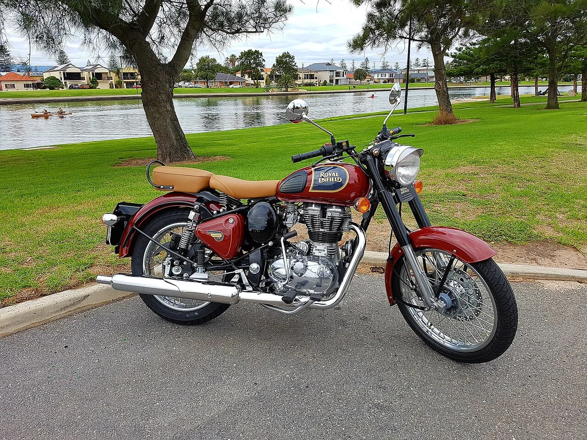
Recommended bikes


Official sources
Confirm the requirements for your nationality, vehicle and route with the official authorities linked below.
Safety
- Buy only certified helmets (ISI in India) and replace after any crash.
- Check tyre pressure weekly; under-inflation ruins mileage and handling.
- Before the monsoon: brakes, tyre tread, chain and lights.
- In the hills, use engine braking on descents and avoid riding after dark.