Thimphu → Punakha → Bumthang: route guide
Route distances, durations, seasons and fuel gaps are planning estimates. Check current road access, weather, permits and fees with official authorities before travelling.
Estimated distance
270 km
நாட்கள்
4
சிறந்த மாதங்கள்
Mar–May, Sep–Nov
அதிகபட்ச உயரம்
3420 m
Estimated fuel gap: 70 km. Confirm fuel availability and safe refuelling stops before departure.
Route map
Open directions- Thimphu
- Dochula
- Punakha
- Trongsa
- Jakar (Bumthang)
Line joins key stops (approximate), not turn-by-turn. Check road status before you ride. Map data © OpenStreetMap contributors.
Highlights
- Dochula Pass
- Punakha Dzong
- Pele La
- Jakar
பர்மிட்கள்
Confirm the requirements for your nationality, vehicle and route with the official authorities linked below.
பரிந்துரைக்கப்படும் பைக்குகள்
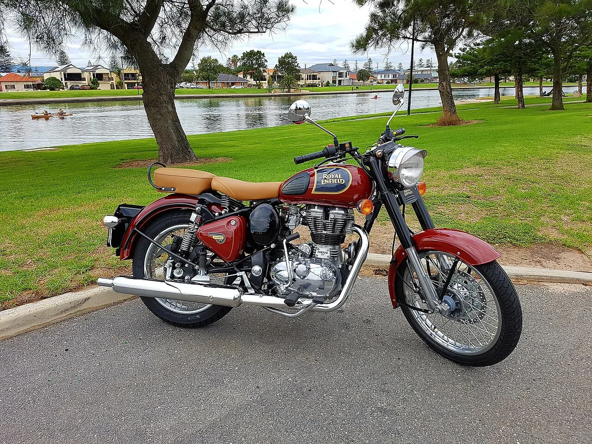

Royal Enfield
Himalayan 450
₹3.05 லட்சம்
எக்ஸ்-ஷோரூம் · EMI தொடக்கம் ₹7,988/மாதம்
- 452 cc
- 30 kmpl
- 825 mm
Official sources
Confirm the requirements for your nationality, vehicle and route with the official authorities linked below.
Safety
- Buy only certified helmets (ISI in India) and replace after any crash.
- Check tyre pressure weekly; under-inflation ruins mileage and handling.
- Before the monsoon: brakes, tyre tread, chain and lights.
- In the hills, use engine braking on descents and avoid riding after dark.